The E10 Road Trip: Driving Lofoten's Scenic Highway
The short answer: once you're already on the islands, the E10 runs roughly 165 to 180 kilometres from around Fiskebøl in the north to Å in the south, and driving it, not just getting through it, is a real part of the trip. This is about the drive itself: where to stop, how to pace it, and what the road actually asks of you, not how to fly or ferry in.
Booking choice: Visit southern fishing villages and Skagsanden with a driver and photography stops. Discover Reine, Hamnøy and Å photo tour
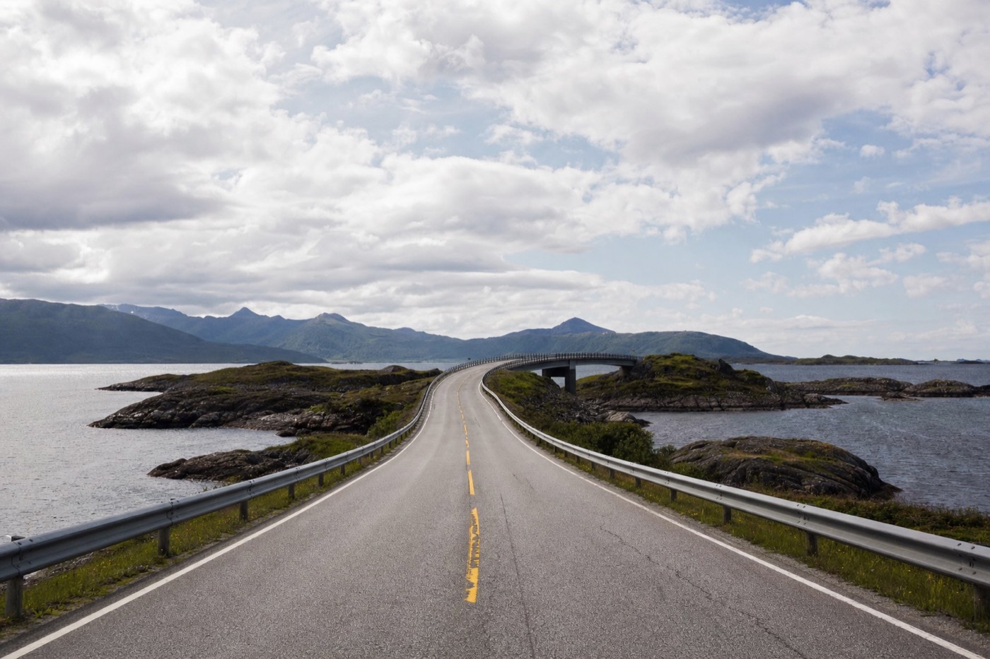
Most guides to Lofoten treat the road as a means to an end: a way to reach Reine, or Reinebringen, or a beach. Drive it slowly, though, and the E10 itself becomes one of the better things you do here, a single narrow highway threading a chain of islands over low bridges with almost nowhere the view is not worth slowing down for.
The E10 through Lofoten, by segment
Approximate driving times, no stops. Add real time for photos, single-lane bridges and summer traffic.
For a guided option: Discover Reine, Hamnøy and Å photo tour
What is the E10, and how much of it is actually "the Lofoten drive"?
The E10 is a much longer European route overall, running from Å at Lofoten's southern tip all the way to Luleå in Sweden, roughly 850 kilometres in total, but the stretch travellers mean by "the Lofoten road trip" is a much shorter, self-contained section: from around Fiskebøl or Svolvær in the north down to Å, a distance of roughly 165 to 180 kilometres depending on exactly where you start counting. That whole stretch is comfortably drivable in a single day if all you want is transit, but it rewards two or three days of deliberate stopping far more.
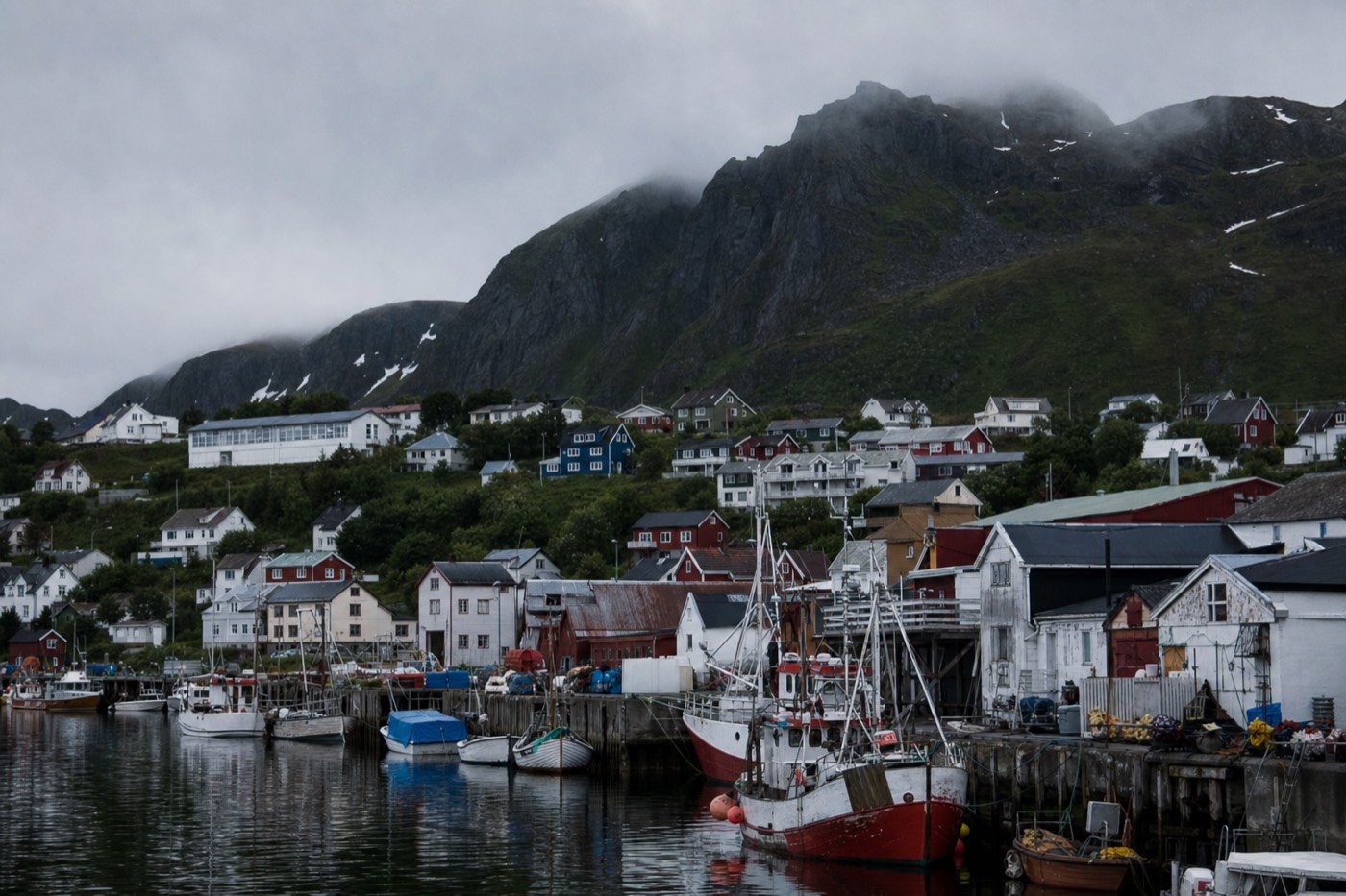
How is the route actually structured, segment by segment?
| Segment | Approx. driving time (no stops) | Character |
|---|---|---|
| Svolvær to Leknes | ~1.5 hours | Passes the Gimsøya turn-off and the road down to Henningsvær; open, varied scenery |
| Leknes to Ramberg/Flakstad | ~30-40 minutes | The road narrows further and the west-coast beaches come into view |
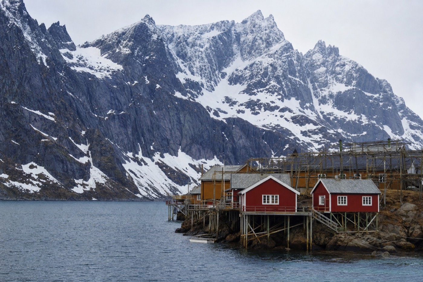
| Ramberg to Reine | ~25-30 minutes | Passes Hamnøy; arguably the single most photographed stretch of the whole road |
| Reine to Å | ~15-20 minutes | The final push to the historic fishing village at the road's true end |
What are the genuine must-stop points, not just photo clichés?
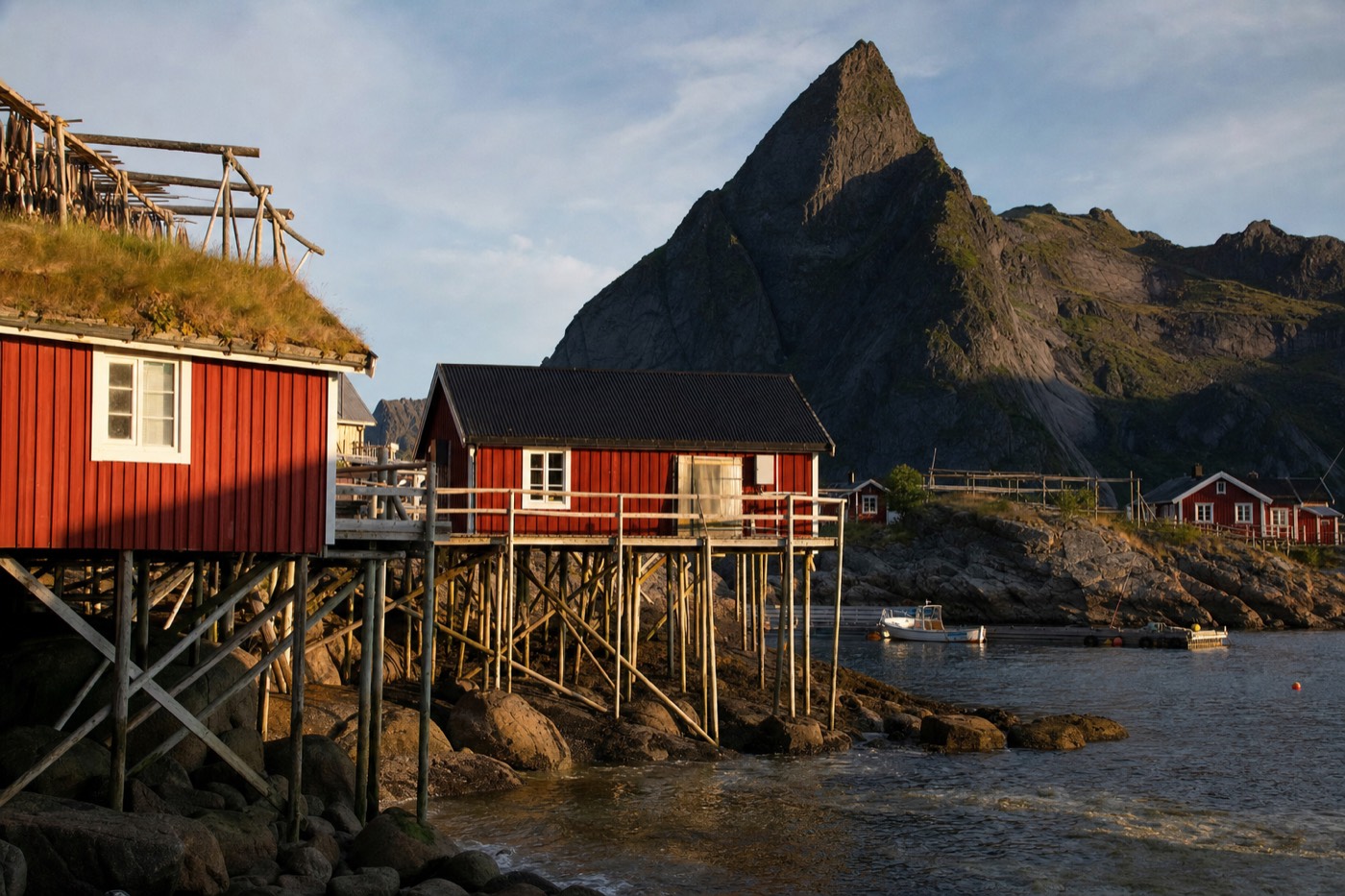
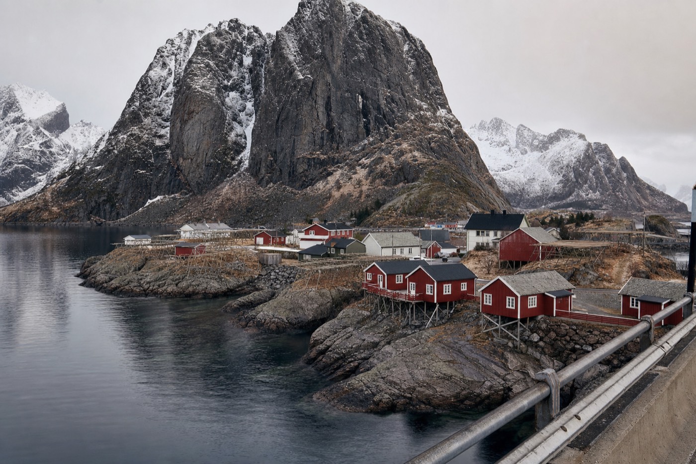
A handful of pull-offs earn a stop on merit rather than habit: the Hamnøy bridge viewpoint, the beaches around Haukland and Uttakleiv just off the main road, Flakstad's distinctive red-domed church, and the final stretch into Å where the road simply ends at the sea. None of these require a detour of more than a few minutes off the E10 itself, which is exactly why building slack into the schedule for them matters more than budgeting for a long side trip.
| Stop | Off the main road? | Time to allow |
|---|---|---|
| Hamnøy bridge viewpoint | No, right on the E10 | 10-15 minutes |
| Haukland and Uttakleiv beaches | A short side road, a few minutes | 30-60+ minutes if you walk the sand |
| Flakstad church | No, visible from the road | 5-10 minutes |
| Å village, at the road's end | No, the E10 terminates there | 30-60 minutes to walk the old fishing village |
What makes the road itself an engineering story, not just scenery?
The E10 crosses the archipelago's straits on a chain of low arched bridges and, further north, passes through the Nappstraumen Tunnel, an undersea road tunnel connecting two of the islands beneath the strait between them, part of a broader mid-2000s upgrade that replaced several ferry crossings with fixed road links across this stretch of Norway. Norway's road authority completed 18 separate tunnels totalling over 20 kilometres on the E10 as of the late 2000s, several of them in this immediate region, which is why a route that looks like a simple coastal road on a map actually involves genuine underwater and mountain engineering.
How should you actually pace the drive?
Two to three days beats one for anyone who wants more than a highlights reel: splitting the drive across Svolvær-to-Leknes, Leknes-to-Reine, and a final push to Å with a return gives room for the beaches, Hamnøy, and at least one hike or a boat trip from Svolvær without turning every day into a rushed transit leg. Trying to do the full length in a single day while also stopping properly at every viewpoint is the single most common way visitors end up disappointed with a road they were told was unmissable.

| Pace | Realistic for | Trade-off |
|---|---|---|
| One long day, minimal stops | A transit day between two fixed bookings | You see the road, not the archipelago |
| Two days, one overnight partway | A tight but real road trip | Still rushed at the beaches and Hamnøy |
| Three or more days, multiple bases | The full experience: beaches, Hamnøy, a hike, Å | Needs the most total trip time |
What actually makes this road demanding to drive?
Width and pace, not gradient: the E10 through Lofoten is largely a narrow two-lane road with sections that pinch further at bridges and blind curves, so the real skill is patience, not speed, especially behind slower camper vans or oncoming traffic on the narrower stretches near Reine and the beaches. Locals and repeat visitors both flag the same handful of hazards, worth planning around rather than discovering the hard way.
| Hazard | Why it catches people out | Fix |
|---|---|---|
| Stopping in the road for a photo | The urge to pull over the instant a view appears | Use a designated pull-off; there is almost always one within a short distance |
| Tailgating a slow camper van on a narrow stretch | Frustration on a road with few overtaking opportunities | Build extra time into the schedule; passing spots are genuinely limited by design |
| Underestimating single-lane bridge etiquette | Some of the smaller bridges effectively narrow to one lane | Slow down, yield where the road or signage indicates, do not assume right of way |
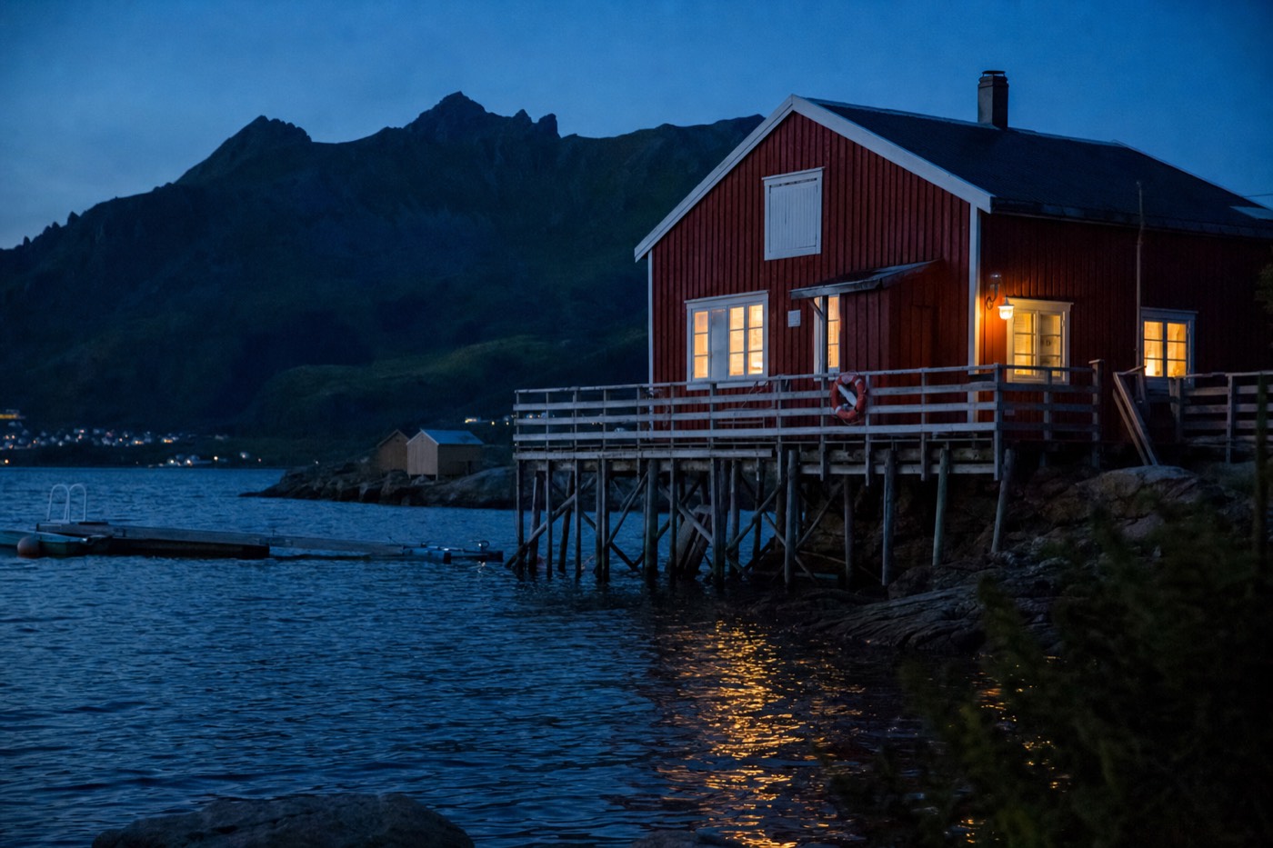
| Driving the whole route in low light without adjusting speed | Midnight sun midsummer or long winter darkness both distort a driver's sense of time and fatigue | Treat an evening or "night" drive with the same caution as an unfamiliar road anywhere, regardless of how bright or dark it looks |
Does the direction you drive matter?
For photography specifically, yes: driving south from Svolvær toward Å in the morning puts the sun broadly behind or beside you on many of the classic westward and southward-facing shots, including Hamnøy, while the reverse direction in the evening can favour other angles, so a there-and-back trip genuinely offers two different lighting experiences on the same road rather than a simple repeat. For pure logistics, direction matters less than pacing; either way in is workable if you are not chasing specific light.
What about fuel and charging along the way?
Fuel and EV charging stations cluster around the larger towns, Svolvær, Leknes and Reine, and thin out noticeably on the more remote southern stretch beyond Ramberg, so the practical rule is simple: never let a fuel or charge level drop low while still north of Leknes if the plan is to continue all the way to Å. This is a genuine, avoidable planning failure rather than a minor inconvenience, since a flat battery or empty tank on the narrower southern stretch means a real wait for help.
Car or camper van: which suits this road better?
A standard rental car is the more practical choice for most visitors: camper vans are a genuinely popular way to see Lofoten, but their size becomes a real handicap on the E10's narrowest bridge crossings and village streets, particularly around Reine and Henningsvær, where a smaller car simply has more manoeuvring room and more parking options. Camper van travellers who do choose this route report the same recurring friction points: single-lane bridge etiquette, tighter passing margins with oncoming traffic, and limited overnight parking directly in the smaller villages.
| Standard car | Camper van | |
|---|---|---|
| Manoeuvrability on narrow stretches | Straightforward | Noticeably harder, especially at bridges and in villages |
| Parking flexibility | Fits the smaller pull-offs and village lots easily | Often needs designated larger parking areas |
| Overnight flexibility | Requires booked accommodation | Can overnight on board, subject to local rules on wild camping/parking |
| Realistic pace | Faster point-to-point | Slower, especially on the Ramberg-to-Reine stretch |
What pull-offs and viewpoints beyond the headline stops are worth knowing about?
Beyond Hamnøy and the beaches, the E10 has a scattering of smaller, less-discussed pull-offs, elevated bends with a clear fjord view, a bridge crossing with water on both sides, a stretch where the road runs directly along the shoreline, that reward simply driving with the window down and stopping wherever the light looks right, rather than only following a fixed list of named stops. This is part of what separates a road trip from a checklist: the E10's density of good views means a genuinely large share of the drive offers something worth a brief stop, not only the five or six spots every guide names.
| Type of spot | What to look for |
|---|---|
| Elevated bends | A wide shoulder pull-off with a clear sightline back over the fjord you just crossed |
| Bridge crossings | Water visible on both sides simultaneously, a distinctly Lofoten framing |
| Shoreline-hugging stretches | Where the road runs close enough to the water that stopping puts you directly at the shoreline |
Is a guided tour a better option than self-driving this road?
For a first pass through the northern section specifically, a guided half-day scenic tour from Svolvær removes the driving workload entirely, covering Kabelvåg, Gimsøya and Henningsvær in a loop while someone else reads the road, which suits visitors who would rather look at the view than watch for oncoming camper vans on a blind curve. For the full length down to Reine and Å, most visitors still prefer a rental car, since the flexibility to stop wherever the light or the mood strikes is a large part of what makes this specific road trip worth doing.
How does winter change the drive?
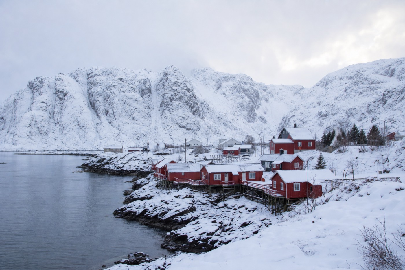
Meaningfully: winter tyres are standard equipment and legally expected in winter conditions, sections of the road slow down noticeably with snow or ice, and daylight itself is short enough that a drive comfortably finished in daylight during summer may need to be planned around a much shorter usable window. None of this makes a winter E10 drive a bad idea, since snow-dusted peaks arguably suit the road even better than summer green, but it does mean budgeting more time and driving more conservatively than the same route in July.
How does this guide differ from "how to get to Lofoten"?
That guide covers flights, the ferry and the long drive up from Oslo, the logistics of reaching the islands in the first place; this one starts once you are already on Lofoten and covers the archipelago's own internal highway, the actual day-to-day driving experience between villages, beaches and trailheads. Read how to get here first if you have not yet arrived, then come back to this guide once you are behind the wheel on the islands themselves.
What's the honest downside of this road trip, not just the highlights?
Weather is the real limiting factor: rain and low cloud, genuinely common at this latitude, can flatten the light and hide the peaks that make the drive worthwhile, and no amount of good planning eliminates the chance of driving a genuinely grey day along a road built for dramatic views. Building in enough total days that one weather-affected stretch does not define the whole trip is the practical fix, not chasing a forecast that changes fast on this coast anyway. That honesty is worth carrying into the whole trip: the E10 on a clear day is one of the best drives in Europe, and on a grey one it is still a genuinely interesting, well-engineered road through a striking landscape, just a quieter version of the same experience.
The E10 rewards unhurried driving more than almost any other part of a Lofoten trip. Build slack into the schedule, use the marked pull-offs, and treat the drive itself as a genuine activity rather than dead time between stops. For help sequencing the stops across a real number of days, see the itinerary guide.